
Three years ago, Napier Port began to use ArcGIS tools to enhance safety and improve its ability to manage and track its assets. Since then Napier Port has extensively implemented the technology to connect people, locations and data, using interactive intelligent maps.
Sea ports and airports share many of the same communication, safety and regulatory challenges as small cities or towns.
In meeting these challenges, they must successfully manage their infrastructure, environment and community engagement. To do this they fully integrate their parcels: utilities including water, electric, sewer, storm water and fibre; assets including pavements and buildings; and regulatory requirements such as health and safety, noise control, environment and bio-security. Done well, GIS can support positive engagement with the public, contractors and government agencies.
Two of Napier Port’s latest projects clearly illustrate the benefits of implementing ArcGIS mapping, tracking and data analysis.
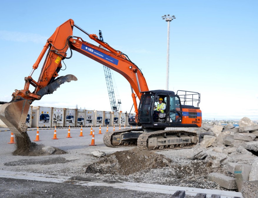
In mid-February of this year, Napier Port commenced construction of its new 350-metre-long 6 Wharf. Scheduled for completion in 2022, the new wharf is regarded as an important new piece of infrastructure for Hawke’s Bay. It will enable Napier Port to host more vessels and to continue improving its operational performance.
Napier Port’s Infrastructure ArcGIS/CAD technician, Matthew June, says Collector and Survey123 are already playing a vital role in tracking the construction progress.
“For example, we will inspect piles for progress as well as compliance. The data collected onsite is then sent directly into ArcGIS Online and shared with those who need the information.”
Maps containing both 2D and 3D datasets can be combined to tell a complete story, as well as to reveal otherwise invisible infrastructure.
Often simplicity can rule the day and Esri’s QuickCapture is proving to be a very simple app providing big results. Port staff can quickly record field observations via cell phone or tablet as they inspect the progress on the new wharf.
The data is instantly sent back to the office for real-time analysis, other tools then provide easy access to edit associated data. The photos are then viewed on a timeline giving a historical documentation of the situation on the ground.
As the name implies this is a quick process that removes the need for hand-written notes or processing of photographs.
“It’s enabled us to carry out our due diligence by tracking the history and the progress of building the new wharf,” says Matthew.
The second initiative focuses on providing a safer, more efficient environment for those who work on and visit Napier Port.
“It is, for all practical purposes a data integration campaign, giving Napier Port the ability to visualise both spatial and temporal data. We will be analysing near real-time data to identify conflicts not previously seen when good data is stove-piped into a single programme.
“Our goal is that, a ship visit is no longer just a schedule of the ships’ time in port but an integrated analysis of requirements to keep cargo moving, people safe and support the infrastructure needed to make it all happen.”